


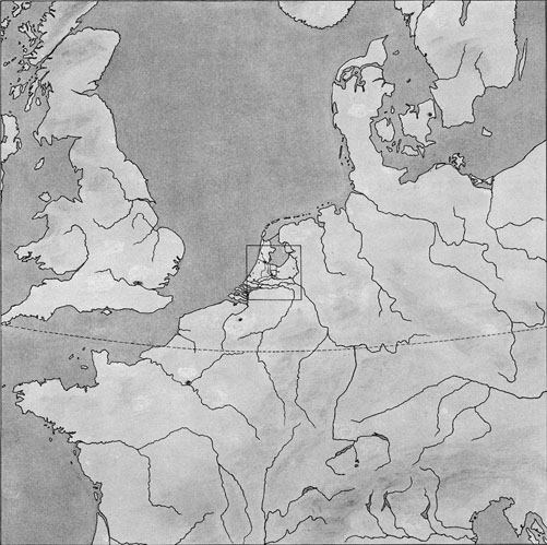
7. Whereas picture 5 gave us the villages of a local district, and #6 the towns of a country, this 7th drawing covers part of a continent - Western Europe - and shows a number of its countries. Actually 15 different countries are wholly or partly visible, as well as 10 of their capitals and a number of rivers, too many to mention by name. The map further shows three seas - the North Sea, the Baltic, and the Adriatic - and a portion of one of the oceans, the Atlantic. As a square 1500 kilometers on a side is covered, the spherical shape of the earth becomes visible; one of the parallels of latitude is drawn to demonstrate this, but the curvature is still so slight that the map can still be thought of as flat. It will need one more jump to reveal it as part of the surface of a sphere.
1 cm. in picture = 107 cm. = 100 km.
Scale = 1:10,000,000 = 1:107